
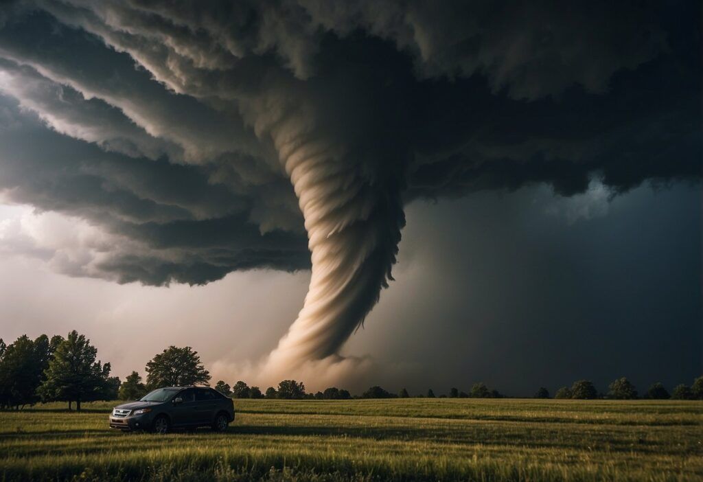
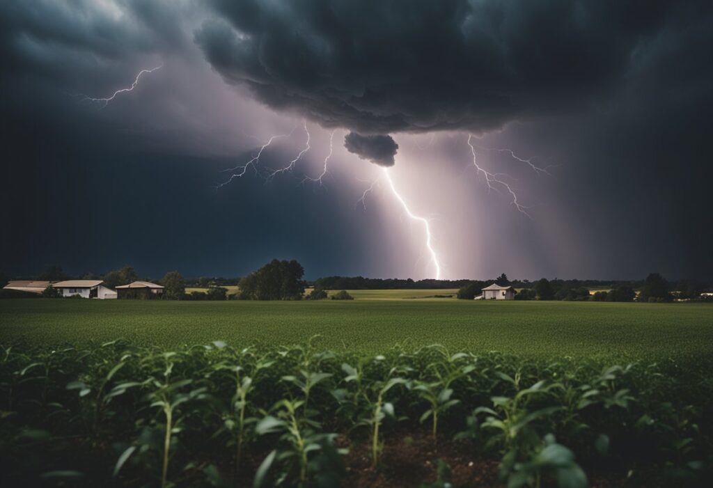
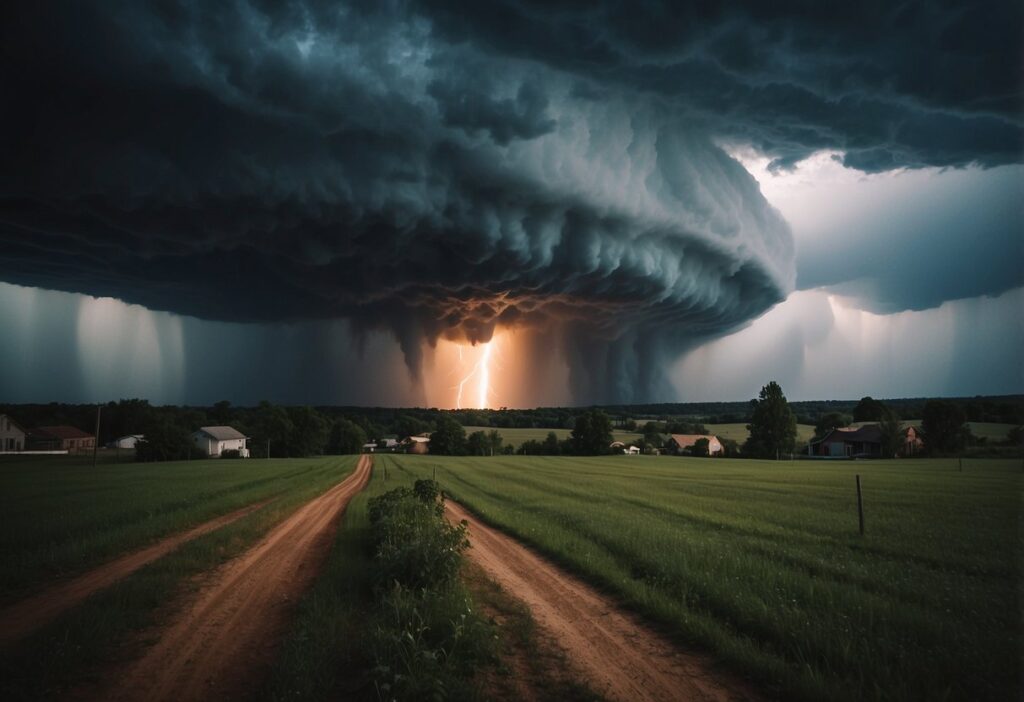
A tornado is a powerful vortex of rotating winds that forms under specific weather conditions. These violent storms can cause significant damage by picking up debris and hurling it across large distances.
Tornadoes often form within thunderstorms and are typically associated with funnel clouds that extend from the base of a cloud to the ground.

Forecasters use radar to detect tornadoes, especially Doppler radar, which can identify areas of rotation within a storm.
While tornadoes are commonly known for their destructive power, their exact formation process involves complex meteorological factors.
Tornadoes are most prevalent in the central United States, a region famously known as “Tornado Alley.”
Despite their fearsome reputation, not all tornadoes are equally dangerous. Wind speeds can vary widely, with some tornadoes reaching speeds of over 250 miles per hour.
Understanding the characteristics and behavior of tornadoes is crucial for safety and preparedness, making it important to stay informed and heed weather warnings.
Formation and Characteristics
Tornadoes are complex weather events that form under specific meteorological conditions and exhibit distinct features. Understanding how they form and their characteristics can provide insights into their behavior and potential impacts.
Meteorological Conditions
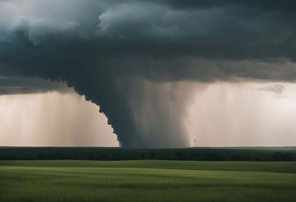
Tornadoes often form in supercells, which are powerful thunderstorms with rotating updrafts called mesocyclones.
These storms usually occur in regions where warm, moist air from the Gulf of Mexico meets cold, dry air from Canada.
This temperature difference creates instability in the atmosphere. When strong wind shear is present, meaning winds change speed and direction with altitude, it can cause the air to spin horizontally.
As the thunderstorm matures, the updraft tilts this rotating air vertically, helping to form a mesocyclone within the storm.
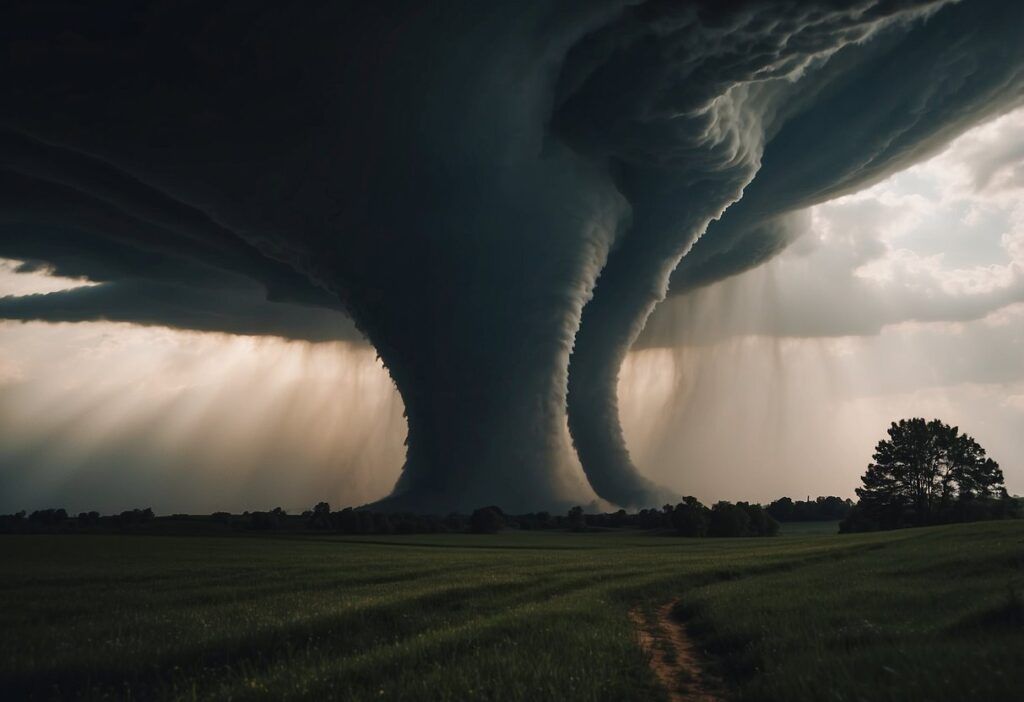
Tornado Anatomy
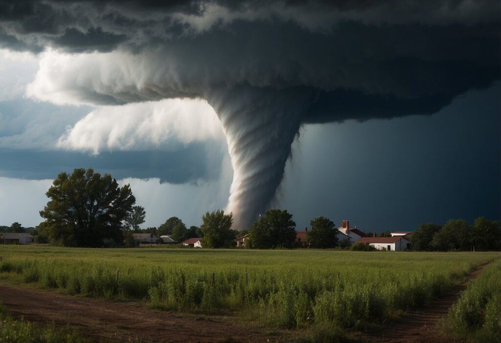
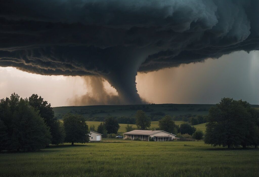
A tornado consists of several key parts. The most visible is the condensation funnel, which extends from the cloud base to the ground and is made up of water droplets, dust, and debris. The base of the tornado can be quite wide or very narrow, depending on its strength.
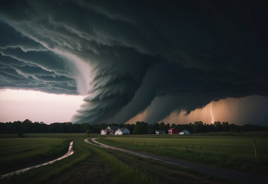
Above the funnel, a wall cloud might be present, which is a lowering of the cloud base where the tornado originates.
The rear flank downdraft is a region of descending air that wraps around the backside of the mesocyclone. Additionally, inflow bands, which are cloud lines extending towards the storm, can often be seen, indicating the strong inflow of warm, moist air into the system.
Classification Scales
Tornadoes are classified primarily by the Fujita Scale (F-Scale) or the Enhanced Fujita Scale (EF-Scale), which categorize them based on damage and estimated wind speeds.
The original Fujita Scale ranges from F0 (weakest) to F5 (strongest), while the Enhanced Fujita Scale, introduced in 2007, ranges from EF0 to EF5 and provides more detailed damage indicators.
For example, an EF0 tornado has wind speeds of 65-85 mph, causing minor damage, such as broken branches and damaged roof shingles.
An EF5 tornado, with wind speeds over 200 mph, can cause complete destruction of well-built structures and significant damage to larger buildings. This classification helps meteorologists and researchers assess the intensity and potential impact of tornadoes.
Geographical and Seasonal Distribution
Tornadoes are common in specific regions and occur mainly during certain times of the year. Their frequency and distribution are influenced by various climatic and geographical factors.
Tornado Alley and Beyond
In the United States, the central region known as Tornado Alley sees the highest number of tornadoes. This area includes Oklahoma, Texas, and Kansas.
The geography and climate in Tornado Alley create ideal conditions for tornado formation. Warm, moist air from the Gulf of Mexico meets cool, dry air from Canada, leading to frequent severe storms.
Besides Tornado Alley, the Southeast U.S. also experiences a high number of tornadoes, particularly in the spring and summer.
Global Tornado Occurrences
Tornadoes are not limited to the United States. They occur worldwide in areas like Argentina, Bangladesh, India, Australia, and parts of Europe.
In Argentina, the Pampas region is a hotspot due to the clash of air masses from different directions. Bangladesh frequently faces tornadoes due to its low-lying geography and monsoon climate.
Australia experiences tornadoes mostly in the southern and eastern parts, while Europe, though less frequent, has tornadoes mainly in areas such as Germany and the United Kingdom.
Seasonal Patterns
Tornado seasons vary by region and are influenced by local climatic conditions.
In the United States, tornadoes are most common in spring and early summer, peaking from April to June. This period sees atmospheric conditions that favor the development of severe storms.
In Bangladesh and India, tornadoes are more frequent during the pre-monsoon season from March to May. In Australia, the tornado season typically occurs from November to April, coinciding with the warmer months. These seasonal patterns highlight the importance of understanding regional climates in predicting tornado activity.
Impact and Safety Measures
Tornadoes can cause significant damage to property and pose serious risks to human safety. Proper precautions can reduce threats to life and lessen property destruction.
Effects on Life and Property
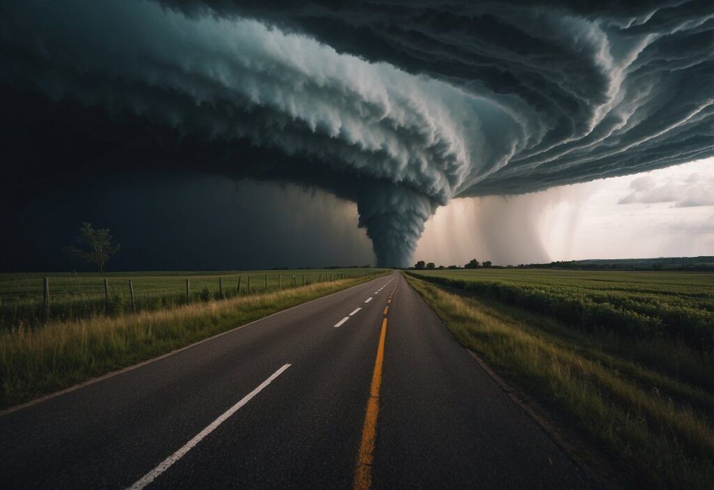
Tornadoes are known for their powerful winds that can exceed 200 mph. These winds can completely destroy buildings, leaving debris scattered over large areas.
The strongest tornadoes can even uproot trees and hurl them like missiles, resulting in severe damage and injuries.
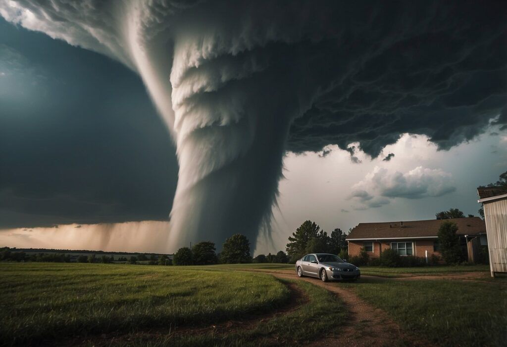
Life-threatening conditions arise when people are caught without proper shelter. Injuries often occur from flying debris or collapsing structures.
Areas under a tornado warning should immediately seek safe spaces like basements or interior rooms away from windows.
In addition to human injuries, the economic impact can be substantial. Damaged buildings and infrastructure require extensive repairs, and communities can spend years recovering.
Tornado watches and warnings play a vital role in preparing for these events, giving people time to take necessary safety measures.